Can you get around Geneva by bike, and where is it pleasant to ride?
How Geneva's shared bikes work, which routes along the lake are easy riding, and where to leave the bike and walk instead.
Read on
The quick answer
Geneva can be covered by bike, and for a good stretch of riding the flat lakeside quays are genuinely pleasant. The city itself is compact enough that most visitors will walk the center and use a bike mainly for the lakefront, saving the tram for the climb to the international quarter or the trip out to Carouge.
Geneva is a city of short distances: the lakefront, the old town, the Pâquis and the Plainpalais all sit within walking range of one another. A bike adds little within that core, but it covers the longer, flat stretches along the water quickly and without waiting for a tram. Everything else about getting around, including tickets, trams and the water buses, is set out on /getting-around/.
Some links on this page are affiliate links. If you book through one we may earn a commission, at no extra cost to you. It does not affect what is recommended here, and no sight page on this site carries one.
The transport card lives in an app, so mobile data from arrival keeps it to hand.
How the bike-share system works
Geneva's official bike-sharing network is VéloPartage, run by Donkey Republic together with the Genèveroule association, the canton and the municipalities. To use it, download the Donkey Republic app, create an account, find a bike on the map, unlock it from the phone, and end the rental at one of the marked drop-off points around the city.
Bikes are available every day, around the clock, and the fleet includes electric models alongside ordinary ones. Riders must be at least twelve years old to take an ordinary bike and at least fourteen for an electric one, so this is not an option for young children riding on their own.
Because VéloPartage sits outside the Unireso fare system that covers trams, buses, trains and the Mouettes, a rental is arranged and paid for entirely through the Donkey Republic app rather than with a transport ticket or the Geneva Transport Card. Anyone with questions about current rental terms should check directly with Donkey Republic or the Genèveroule association.
Where it is pleasant to ride
The flat quays along both banks of the lake are the best riding in the city: wide, level, and largely free of the climbs that define the old town above. A ride along the water follows roughly the same ground as the walk from Cornavin down to the Quai du Mont-Blanc, across the Pont des Bergues past Île Rousseau, and on along the left bank through the Jardin Anglais toward the Eaux-Vives jetty.
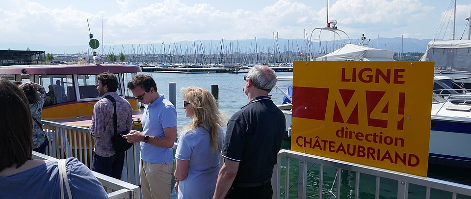
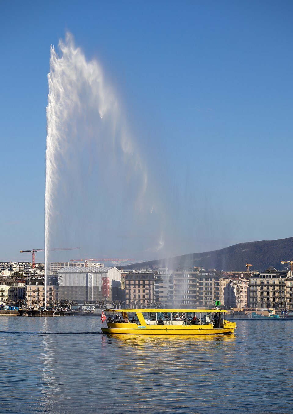
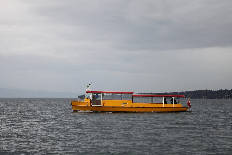
This corridor is also roughly where the Mouettes water buses cross the harbor, so a visitor who wants to see both banks without riding back the way they came can cover one side by bike and return by boat, since the crossings are short and run all year. Riding one bank and crossing by water bus also avoids retracing the same stretch of quay twice.
Toward the Eaux-Vives and beyond, the shoreline opens into parkland, and the flat ground continues to be the easiest riding available. The same cannot be said once the route turns uphill toward the old town or inland away from the water, where gradients and narrow streets make a bike far less practical.
Where to get off and walk
The old town is a separate climb from the lakefront, built on a hill of lanes and passages rising from the Place du Bourg-de-Four and the Molard up to the cathedral, the Hôtel de Ville and the Promenade de la Treille, and down the far side to the Parc des Bastions and the Place Neuve. This part of the city is steep and is better covered on foot than on a bike.
A rider approaching from the lakefront or the Molard should plan to leave the bike at a drop-off point before starting the climb, rather than attempting the lanes themselves. Checking the Donkey Republic map for a convenient drop-off near the base of the hill, before setting off, saves time and avoids an awkward walk pushing a bike back down afterward.
The same caution applies to any detour into the narrower pedestrian streets of the center, where a bike is more hindrance than help. Treating the old town as a walking-only stretch, and the bike as a tool for the flatter approaches to it, keeps the ride enjoyable rather than a struggle on cobbled slopes.
Combining the bike with tram and water bus
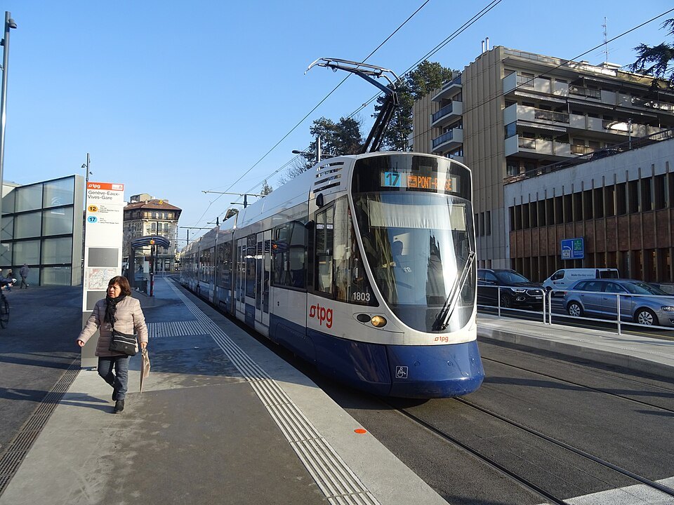
A bike suits the flat distances well but is not the fastest way to reach the international quarter. The tram from Cornavin reaches the Place des Nations in about eight or nine minutes, which is quicker and far less strenuous than riding up to it. From the Place des Nations, the Palace of Nations, the Broken Chair, the Musée Ariana and the Red Cross and Red Crescent Museum are all within easy walking distance, the museum a short way uphill.
The botanical garden lies below the international quarter, toward the lake, and can be reached on foot from the Place des Nations or along the shore from the Pâquis; it is also an easy stretch for a bike, since the ground near the lake stays flat. For the trip out to Carouge, across the Arve and about a quarter of an hour from Cornavin by tram, the tram remains the simpler choice rather than riding across and back.
In practice, a bike works best as the way to cover the lakeside stretches between tram or water-bus legs, rather than as a replacement for the whole network. Mixing the three, walking the center, riding the quays, and taking the tram or a water bus for the longer or steeper hops, covers the city with the least effort.
Practical notes before setting off
Riders planning to go beyond the lakefront quays, into the parks toward the Eaux-Vives or further out toward the edges of the canton, should check the Donkey Republic app for the extent of the drop-off network in that direction before starting, since availability of bikes and stations can vary by area. The app shows the current map of bikes and drop-off points in real time.
Anyone unsure whether a particular stretch of route is suitable for riding, especially anything that looks like it climbs toward the old town or the international quarter, is better off checking the map first or simply switching to the tram or a short walk. Between the flat quays, the tram network and the Mouettes water buses, a visitor rarely needs the bike for more than the pleasant, level parts of the city.
More from the journal
- Getting AroundWhat does the Geneva Transport Card cover, and how do you get one?Guests of registered accommodation in Geneva travel free on the trams, buses, local trains and water buses of the whole canton. What the card covers, what it does not, how it arrives, and what to do without one.Read the piece
- Getting AroundHow do the yellow Mouettes water buses work, and which crossing is best?What the yellow Mouettes water buses are, how the four lines differ, and which crossing suits a short visit.Read the piece
- Day TripsWhere can you see Mont Blanc from Geneva?The highest summit of the Alps is visible from much of Geneva on a clear day. The best places in the city to look for it, the viewpoints above it, and how to pick your day.Read the piece