Home · Sights · Place du Bourg-de-Four and the Grand-Rue
Place du Bourg-de-Four and the Grand-Rue
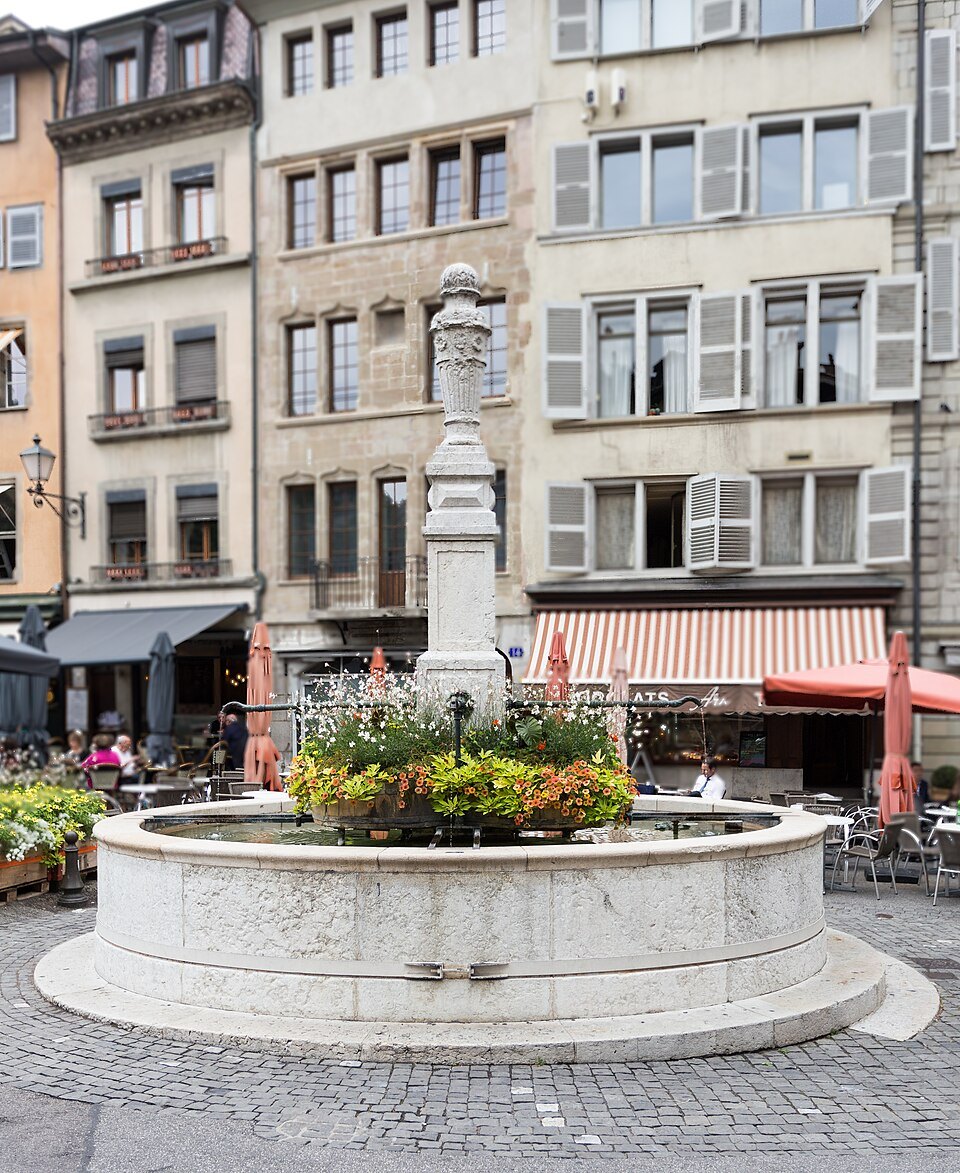
- IThe fountainAn eighteenth-century fountain at the lower, wider end of the square, ringed by café tables
- IIThe Palais de JusticeThe courthouse on the north side, built as the city's general hospital in 1707–1712
- IIIThe church without a towerThe Lutheran church of 1766, allowed on condition that it not look like a church
- IVClémentineHeinz Schwarz's slender bronze girl of 1975, often left with flowers and notes
- VThe Degrés-de-PoulesA covered stairway squeezed between houses, climbing from the square toward the cathedral
- VIThe Grand-RueThe old main street of the upper town, running from the square past tall merchant houses
From darkness to light
Why it matters
Most European old towns have a main square in the middle. Geneva's oldest square is on the edge. The Place du Bourg-de-Four lies on the slope between the top of the hill and the plateau of the Tranchées, at the point where the old paths from the left shore of the lake and from the delta of the Arve came together outside the gate of the walled town.
That position made it a marketplace for two thousand years. In Roman times it was already a place of trade, just outside the ramparts, and one explanation of its name connects it with the word forum. From the eleventh century fairs were held here, inns grew up around it, and in the second half of the twelfth century the town walls were extended to take it in.
Today it is the most sociable corner of the old town: café terraces around a fountain, a bookshop, galleries, and a steady traffic of people walking between the cathedral above and the museums and the Tranchées below.
How the square got its shape
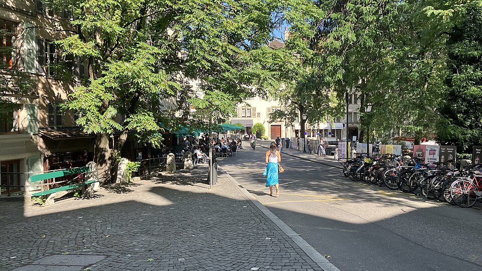
The square does not look like a square. It is shaped more like an hourglass. The upper, northern end narrows in front of the courthouse and then splits into two streets, the Rue de la Fontaine and the Rue Verdaine; the lower end opens out around the fountain, beside a small tree-shaded promenade and the start of the Rue de l'Hôtel-de-Ville.
Its history is written into that odd outline. After the fall of Rome, Geneva withdrew behind a smaller wall that left the site outside, and it stood empty until the Middle Ages. The counts of Geneva kept a castle here, the seat of their temporal power, and the Burgundian king Gundobad, who died in 516, is recorded as having had a residence on the square.
The Reformation changed it again. The populous suburbs beyond it were razed with their churches and convents, and in 1564 the city walled up the nearby gates of Saint-Léger, Saint-Christophe and Saint-Antoine, which turned the square into a dead end. In the seventeenth century several houses were raised by extra stories to lodge Protestant refugees arriving from France.
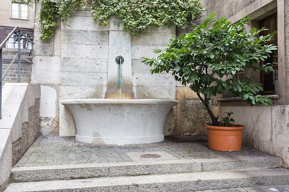
Large leveling works in 1816 and 1817 gave the square its present form, and the demolition of the fortifications from 1848 reopened the roads toward the new district of the Tranchées. The square was protected in 1929 and came through the twentieth century intact.
What you actually see
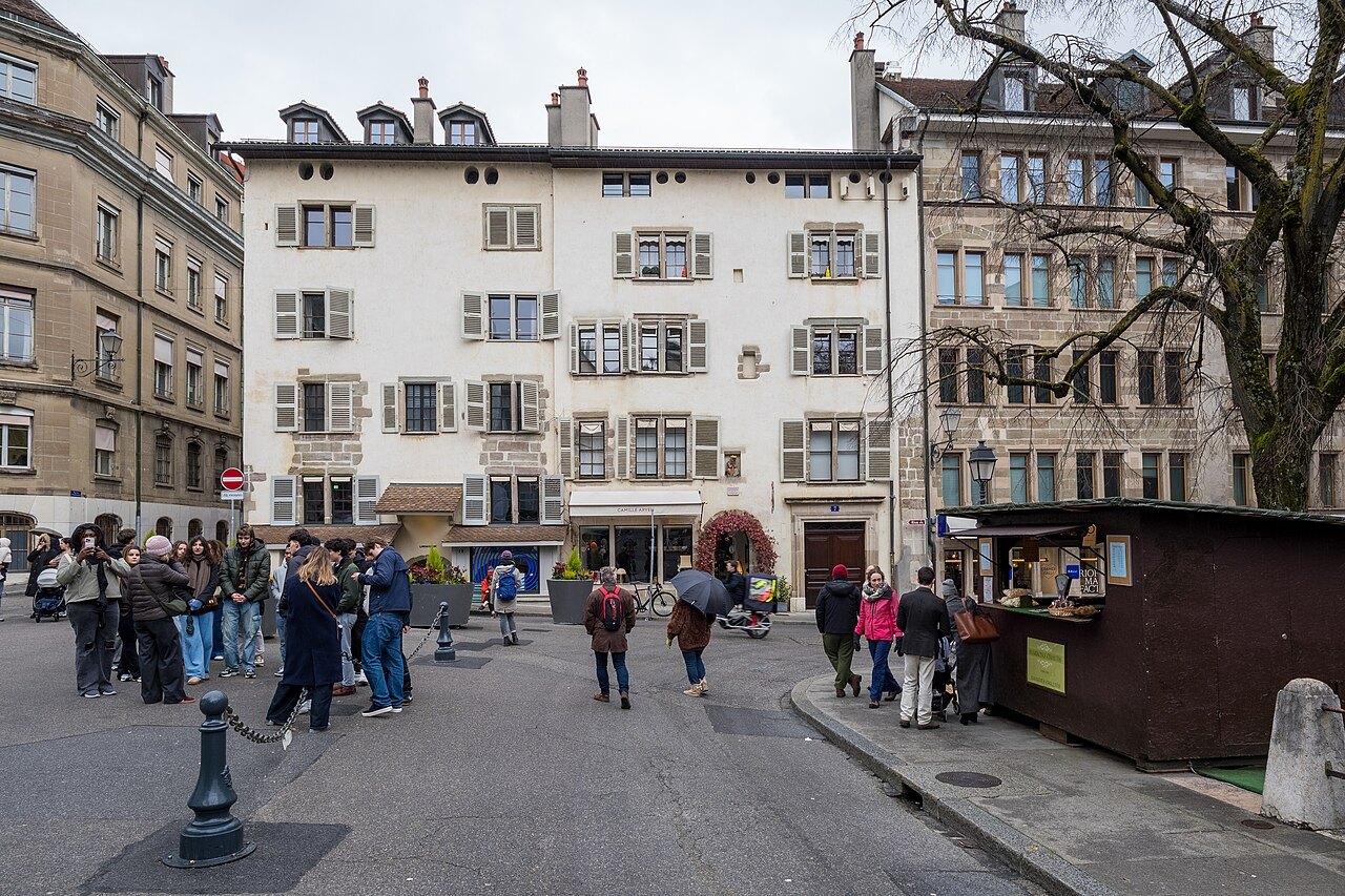
Stand by the fountain and look uphill. Most of the houses around you date from the sixteenth to the eighteenth centuries, some plain and some substantial, with shops and restaurants in their ground floors. The fountain in the middle dates from the eighteenth century.
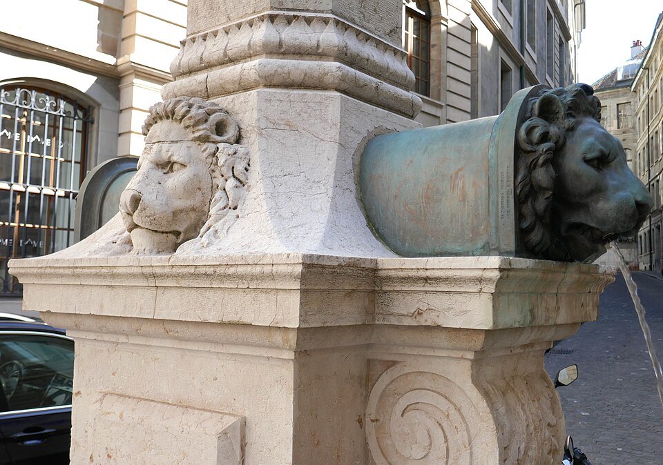
The large building closing the north side is the Palais de Justice. The Poor Clares had their convent here until the Reformation; the city's general hospital took its place, in a building constructed between 1707 and 1712, and after the hospital left in the nineteenth century the building became the courthouse.
Between the two streets that leave the top of the square stands a building that is easy to walk past: the Lutheran church. The Lutheran community, present in Geneva from 1707, was allowed in 1766 to build the first non-Calvinist church in the city, on condition that from the outside it should not look like one. It has no bell tower.
Under a tree at the lower end is Clémentine, a thin bronze figure of a young girl by the Swiss artist Heinz Schwarz, installed in 1975. Flowers and messages are often left with her, many of them drawing attention to the mistreatment of children.
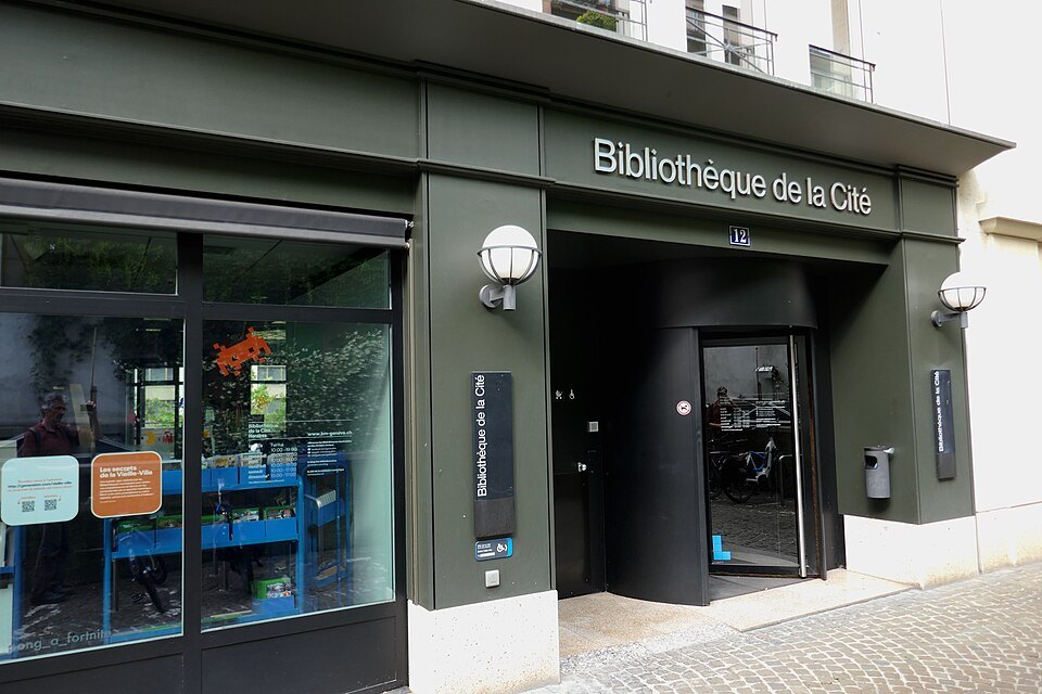
Look too for the Degrés-de-Poules, a stairway that climbs between and beneath the buildings toward the cathedral, and for the Jullien bookshop and publishing house, founded on the square in 1839 and still run by the same family.
The Grand-Rue and the lanes above
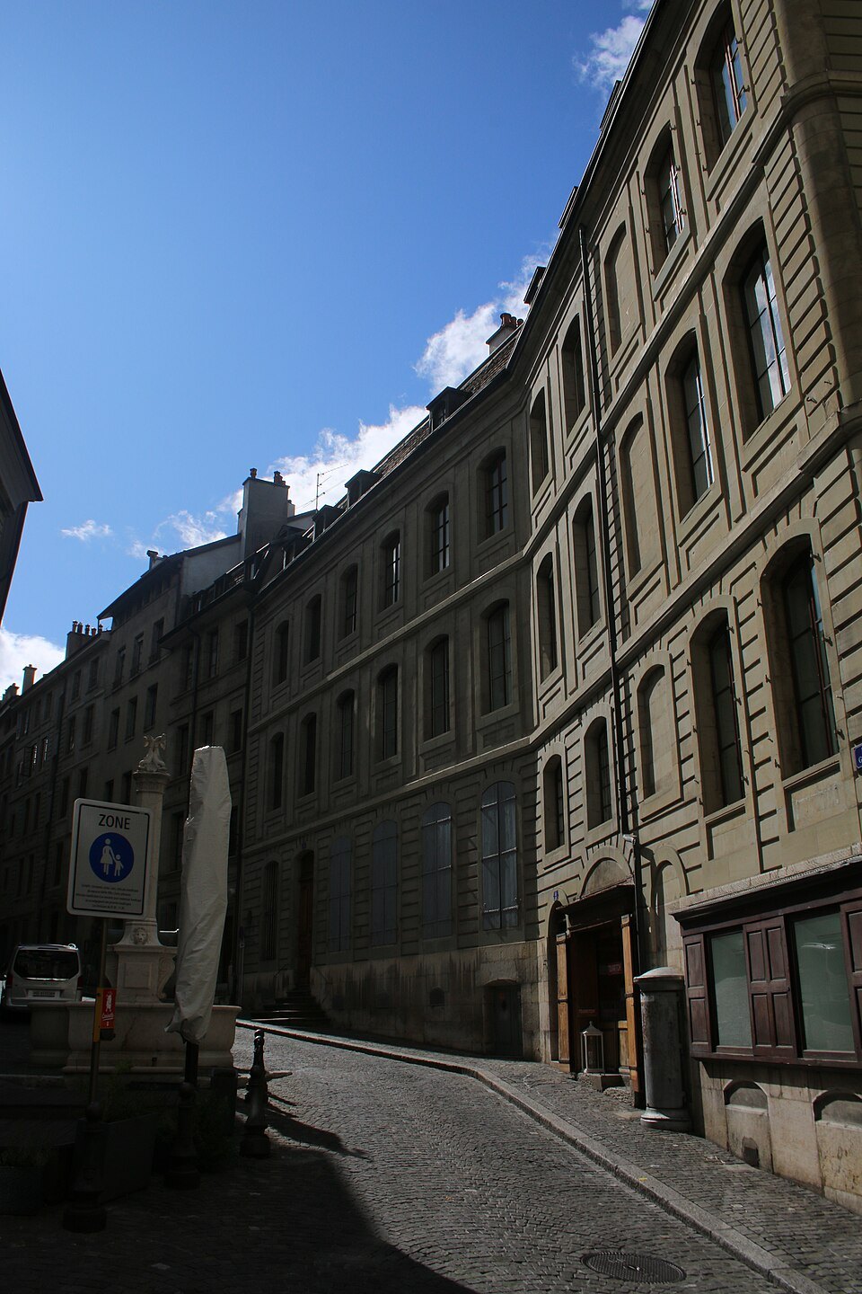
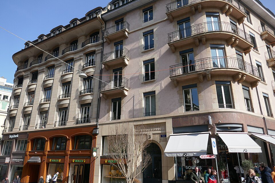
From the lower end of the square, the Rue de l'Hôtel-de-Ville climbs to the town hall and continues as the Grand-Rue, the long main street of the upper town. It is lined with tall stone houses — among them the former residence of the French Resident, the envoy France kept in the independent city.
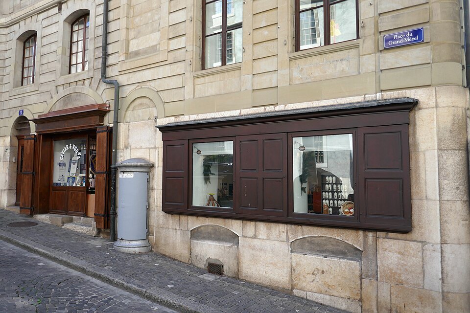
The lanes that branch off it are the best way to understand how compact the old town is. In a few minutes you can pass from the Grand-Rue to the Place du Grand-Mézel with its fountain, down the Rue du Perron toward the lower town, or up the Rue de la Fontaine to the square. None of it is far from anything else.
How to visit
There is nothing to book. The square rewards a slow half hour with a coffee, and a longer stay if you walk the Grand-Rue and the lanes around it. It fits into almost every walk of the old town, between the cathedral, the Hôtel de Ville and the Musée d'Art et d'Histoire.
The slope is real. In 1904 a tram line was run through the square, but the gradient caused accidents and the service stopped after three months. Comfortable shoes help on the cobbles, especially on the lanes that lead down toward the lake.
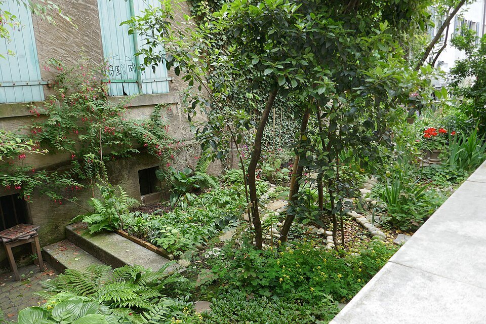
The square is a natural place to pause on a walk that begins at the cathedral: the Degrés-de-Poules bring you down to it, and the Rue de l'Hôtel-de-Ville carries you on to the town hall and the Treille terrace.
Honest notes
The connection of the name with a Roman forum is one explanation, not a certainty, and the site of the royal residence is known from records rather than from anything you can see.
Much of what looks medieval is in fact of the sixteenth to eighteenth centuries, and the shape of the square owes as much to the leveling of 1816 as to anything older.
Nearby
- A few steps awaySaint-Pierre CathedralGeneva's cathedral, begun around 1160, stripped bare by the Reformation in 1535, given a classical front in the 1750s, and standing on the ruins of every church that came before it.Read the page
- A few steps awayThe Hôtel de Ville, the Old Arsenal and the TreilleFive centuries of Geneva's government in one street: the town hall with its stepless ramp tower, the old arsenal across the way, the city's oldest house, and a terrace with one very long bench.Read the page
- A few steps awayThe Musée d'Art et d'HistoireGeneva's encyclopedic museum of 1910, where the Konrad Witz altarpiece shows Lake Geneva in 1444, the armor of the Escalade hangs in its own hall, and the collections run from Egypt to Hodler.Read the page